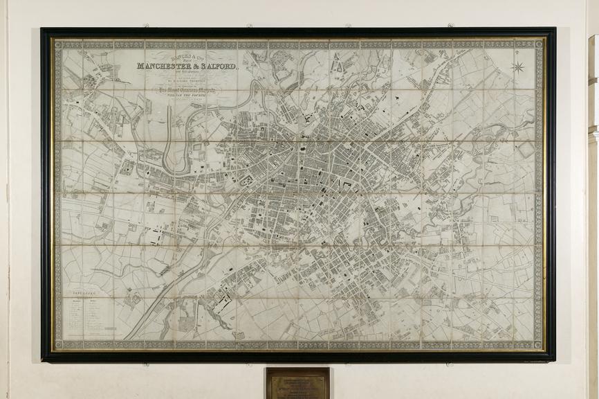
Map - Bancks & Co's Plan of Manchester and Salford
- Made:
- 1831-1832
- maker:
- Bancks and Co
 This image is released under a CC BY-NC-SA 4.0
Licence
This image is released under a CC BY-NC-SA 4.0
Licence
License this image for commercial use at Science and Society Picture Library
License
Science Museum Group Collection
© The Board of Trustees of the Science Museum
Commissioned from a survey done by Richard Thornton in 1831 and published in 1832. The map was drawn at a scale of approximately 1 inch to 100 yards. Large parts of the map show a rural landscape, with areas such as Hulme and Ardwick not yet converted to the mills and housing for industrial workers that would soon take over.
Details
- Identifier:
- YMS0333
- Access:
- Open access.
- rights:
- Copies may be supplied in accordance with current copyright legislation and Science Museum Group terms and conditions.