Partially Animated Map


![]() This image is released under a CC BY-NC-SA 4.0
Licence
This image is released under a CC BY-NC-SA 4.0
Licence
License this image for commercial use at Science and Society Picture Library
License
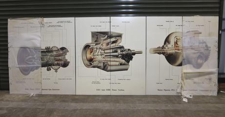
Science Museum Group
© The Board of Trustees of the Science Museum
Science Museum Group
© The Board of Trustees of the Science Museum
Map, partially animated, 32' wide x 8' high, depicting the British Gas Corporation Natural Gas transmission system, offshore oil and gas fields and pipelines, and outline geographical features of Eire and the western sea-board countries of Europe from Scandinavia to France.