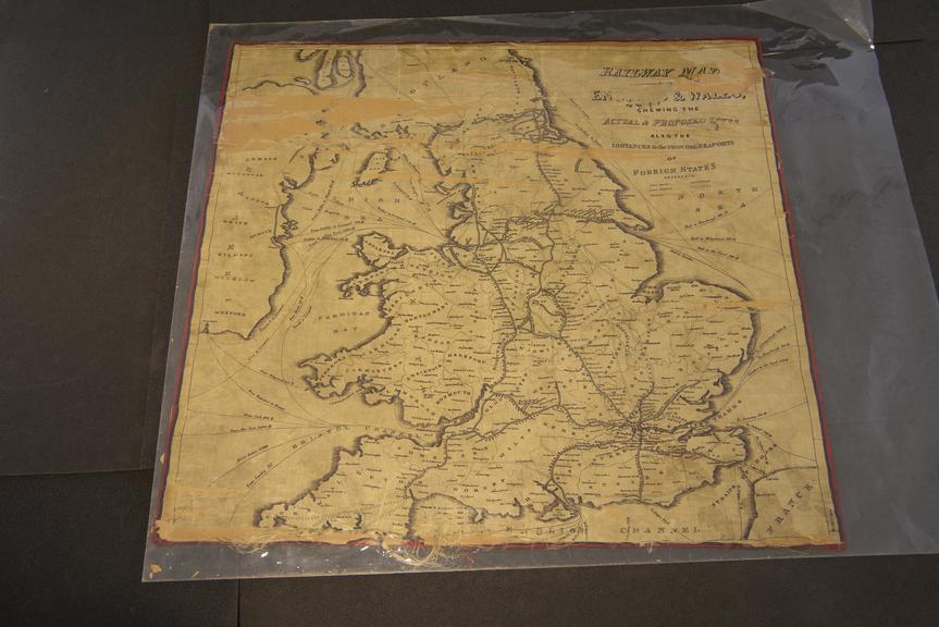
Railway Map of England & Wales
- Made:
- 1843
![]() This image is released under a CC BY-NC-SA 4.0
Licence
This image is released under a CC BY-NC-SA 4.0
Licence
License this image for commercial use at Science and Society Picture Library
License
Science Museum Group
© The Board of Trustees of the Science Museum
Silk handkerchief, Railway Map of England & Wales showing the Actual Proposed Lines also the distances to the Principal Sea Ports of Foreign States, 1843, presented to the Great Western Railway by Sir Felix Pole, 35 x 33 inches.
Details
- Category:
- Miscellanea & Curiosities
- Object Number:
- 1986-8341
- Materials:
- silk
- Measurements:
-
overall: 790 mm x 845 mm
- type:
- handkerchief
- credit:
- British Rail, Historical Relics