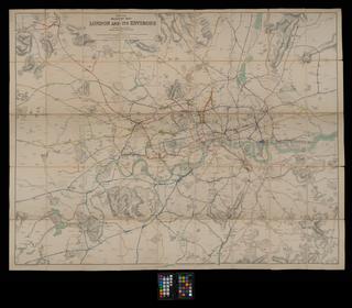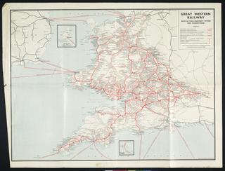
Coloured map. Bradshaw's Map of the Railways in Great Britain. 1842. Drawn and engraved by J Dower, Pentonville, London. Folded with covers. c350 x 430 mm. (115 x 153 mm folded).
Details
- Category:
- Railway Maps & Plans
- Object Number:
- 1997-7142
- Measurements:
-
: 350 x 450 mm
- type:
- coloured map
- credit:
- Amberley Chalk Pits Museum
