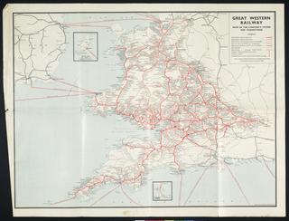
Coloured map. Yorkshire by William Colling Hobson. General map of County showing churches, houses, mills, rivers, canals, roads, towns, villages, landscape features, boundaries, etc, including existing and proposed railroads. (c1856). engraved by J & C Walker. Published by William Colling Hobson, 9 Castle Street, Holborn, London. Backed on linen and folded with covers and slip case. 2866 x 2545 mm (flat). 163 x 266 mm (folded).
Details
- Category:
- Railway Maps & Plans
- Object Number:
- 1997-7147
- Measurements:
-
: 2866 x 2545 mm
- type:
- coloured map

