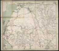

map of Hampshire
Map, Cruchley's County Map of Hampshire showing all the railways and names of stations also the villages, turnpike roads, gentlemen's seats etc, improved from the Ordnance survey's scale - 2 mile - 1", fragile and torn.
Details
- Category:
- Railway Maps & Plans
- Object Number:
- 1998-10157
- Materials:
- paper (fibre product)
- type:
- map
- credit:
- British Rail, Clapham


