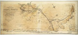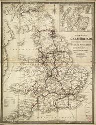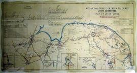
Two maps of Grand Junction Railway
"Map of Grand Junction Railway and adjacent country published by order of the directors, Joseph Locke, engineers", covers area between Preston, Bradford, Sanbach and Sheffield. No scale. Mounted on wood. ; Map of Grand Junction Railway with sections showing inclinations of Grand Junction Railway and London & Manchester Railway, covers area between Shrewsbury, Leek, Nottingham and Birmingham. Published 1836. Scale: 2 miles-1". Mounted on wood.
Details
- Category:
- Railway Maps & Plans
- Object Number:
- 1998-10255
- type:
- 2 maps
- credit:
- British Rail, Clapham