A Map of Lincolnshire
- printer:
- Jordison and Company Limited
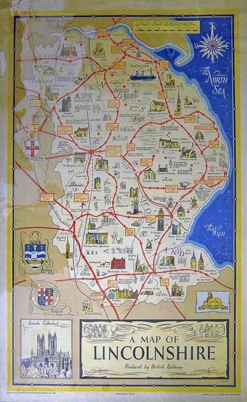
Illustrated map. A map of Lincolnshire. By Blake. c.1951. British Railways Railway Executive (Eastern Region). Format: double royal.
Details
- Category:
- Railway Posters, Notices & Handbills
- Object Number:
- 1998-11616
- Materials:
- paper
- Measurements:
-
overall: 1016 mm x 635 mm
- type:
- poster
- credit:
- British Rail, Clapham
