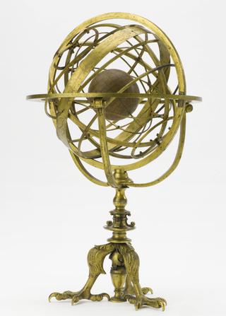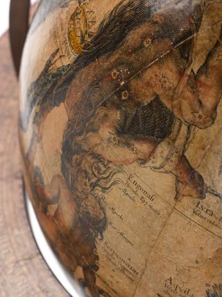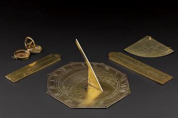

Print of Chinese star map on thin paper, published by John Reeves Esquire at Canton, China, with pamphlet (19pp), 1819. Star map is labelled with star patterns and names recognised by Chinese astronomers.
Printed in 1819 by John Reeves at Canton, this chart of the heavens shows the star patterns or constellations known to the Chinese. In China, 28 asterisms are recognised along the line of the zodiac, the Sun's apparent path across the sky. The rest of the heavens are divided into quadrants known as the Black Tortoise (North), Red Bird (South), Green Dragon (East) and White Tiger (West). These differ from Western constellations in that the stars form patterns representing whole scenes rather than individual objects, animals or people. This star chart has all the stars visible from China and therefore can be used as a planisphere to show the sky at any time during the course of the year.
Details
- Category:
- Astronomy
- Object Number:
- 1921-718
- Materials:
- paper (fibre product)
- Measurements:
-
overall: .9kg
- type:
- prints, engravings, astronomical maps, planispheres and pamplets
- credit:
- Mrs Mary A. Goodman


