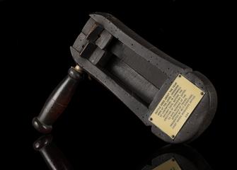
York & North Midland Railway Boundary Marker
- Made:
- circa 1836 in unknown place
- maker:
- York & North Midland Railway
Boundary marker, York & North Midland Railway, stone, about 1836. Inscribed "Y .N. M. R. Cos Boundary".
York & North Midland Railway boundary stone, dating from 1830s or 1840s.
Boundary markers like this were used to clearly identify the limits of railway land and to distinguish them from adjacent property. Stones or posts were typically used where it was difficult to install a fence or hedge, where there was a risk of encroachment by other landowners, or where there had been a dispute over land ownership. They also delineated one railway company’s territory from another’s, for instance to make it clear who was responsible for maintaining a particular stretch of line.
The York & North Midland Railway was formed in 1835 to connect the city of York to the growing railway network in the midlands and north of England. Its first section, a 14½ mile line joining the Leeds & Selby Railway, engineered by George Stephenson, opened in 1839 and the following year another line joined the North Midland Railway, which had connections to London.
Under its ambitious chairman, George Hudson, the York & North Midland expanded to reach the Yorkshire coast and connected to lines north to Newcastle, Berwick and Scotland. Hudson left the company in 1849 following a major financial scandal and in 1854 the York & North Midland merged with other companies to form the North Eastern Railway.
The marker is a dressed, rectangular sandstone, inscribed “Y .N. M. R. Cos Boundary" on the face. The other sides of the stone are more roughly finished.
Details
- Category:
- Railway Infrastructure
- Object Number:
- 2002-7473
- Materials:
- stone
- Measurements:
-
overall: 260 mm x 695 mm x 355 mm, 134 kg
- type:
- boundary marker
- credit:
- British Rail, Clapham
