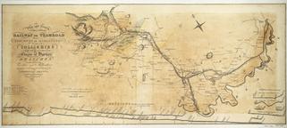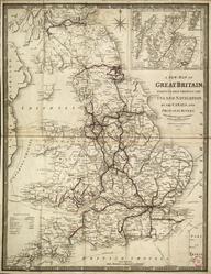
Map of Yorkshire
- Made:
- 1845-1855
Map of Yorkshire, West Riding showing railway routes, with depiction of Harewood, coats of arms and two Greek figures holding up plinths. c.1850
Details
- Category:
- Railway Maps & Plans
- Object Number:
- 2008-7851
- Measurements:
-
overall: 215 mm x 276 mm
- type:
- map
- credit:
- British Transport Commission