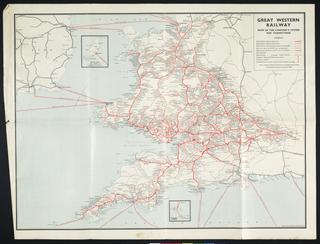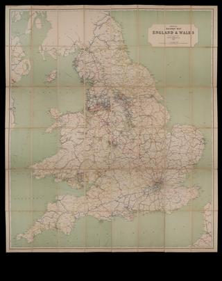
railway map showing schemes affecting the gwr company bill
- Made:
- 1896 in Covent Garden
Coloured map. Great Western Railway. Railway map showing schemes affecting the Great Western Railway Company Bill. Session 1896. Printed by Thos Kell & Son, Engravers & Lithographers, 40 King St, Covent Garden, London. Backed on linen and folded with covers. 1536 x 1178 mm (flat. 194 x 297 mm (folded).
Details
- Category:
- Railway Maps & Plans
- Object Number:
- 1997-7145
- Measurements:
-
: 1536 x 1178 mm
- type:
- coloured map
- credit:
- George, Brian


