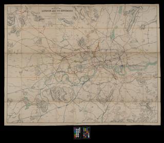
map of crystal palace
- Made:
- 1870
- maker:
- Ordnance Survey
Map of Crystal Palace & surrounding area showing railway lines, Ordnance Survey 1/2500. 1870.
Details
- Category:
- Railway Maps & Plans
- Object Number:
- 1999-7018
- Measurements:
-
28 x 41 in.; 711.2 x 1041.4 mm
- type:
- map
- credit:
- British Rail, Clapham


