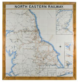
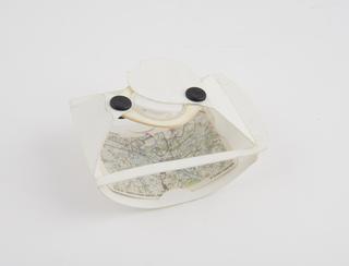
Ceramic tile map of North Eastern Railway
circa 1900
circa 1900

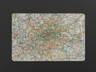
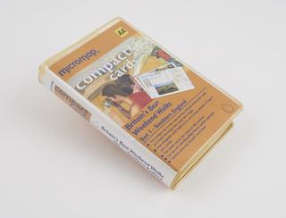
1990-1995
circa 1900-circa 1948
1923-1948
c.1971

1939
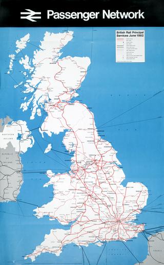
1982

1845
1822
1906
1836
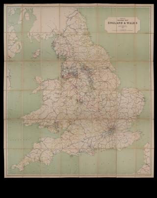
1897

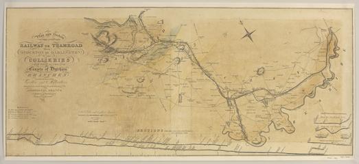
1835-1845
1913
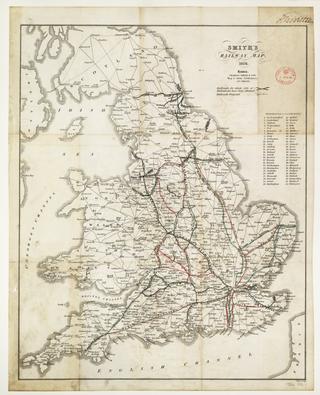
1846

1830
1829

1844

50 BCE
1824-1830
1921
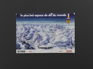
1980s

1916

1858-1862

1874

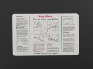
1995-1998

circa 1914
1900-1901
1995-1998

1995-1998

1995-1998
1995-1998

1995-1998
1995-1998
1995-1998
1995-1998
1995-1998

1995-1998

1995-1998
1995-1998
1995-1998

1995-1998
1995-1998
1995-1998