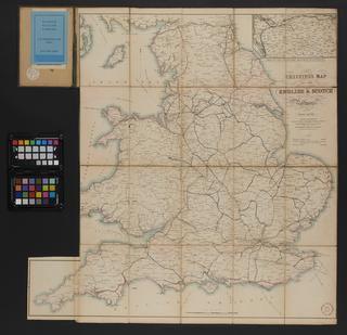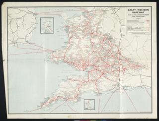
Map of the Inland Navigation
- Made:
- 1830


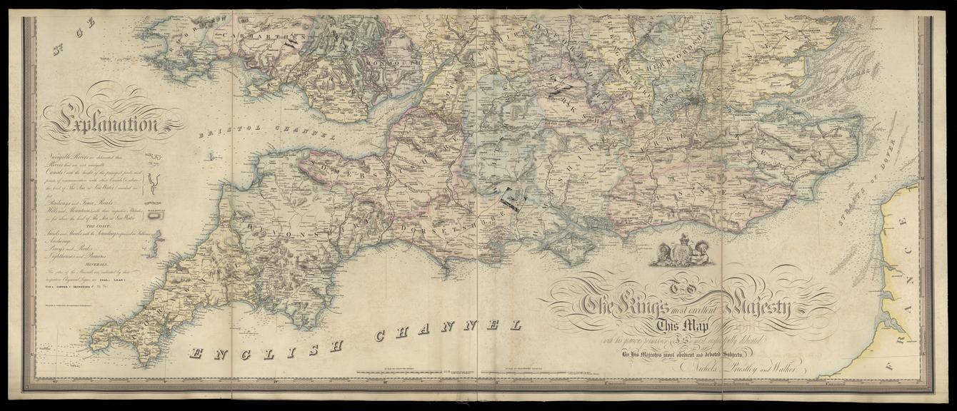

Map of the Inland Navigation, Canals and Rail Roads with the Situations of the various Mineral Productions throughout Great Britain, from actual surveys ... made by order of the Honorable the Board of Ordnance / by J. Walker, Land and Mineral Surveyor, Wakefield. 1830Jan. [Published by Richard Nichols, Wakefield. Scale 1" : c.6m. The 3 engraved sheets were bound together within boards which have been removed; sheets and boards are now folded and kept within flat conservation box. Front board bears title label 'Nichols, Priestley and Walker's new map of inland navigation, canals and railroads of Great Britain'. Sheets bear also an 'Explanation', and a dedication to His Majesty. The map is 'accompanied by a book of reference, compiled by Joseph Priestley, Esqre. of the Aire and Calder Navigation' (i.e. his 'Historical Account of the Navigable Rivers, Canals, and Railways throughout Great Britain' 1831, a copy of which is in SML book stock in Cupboard C)]
