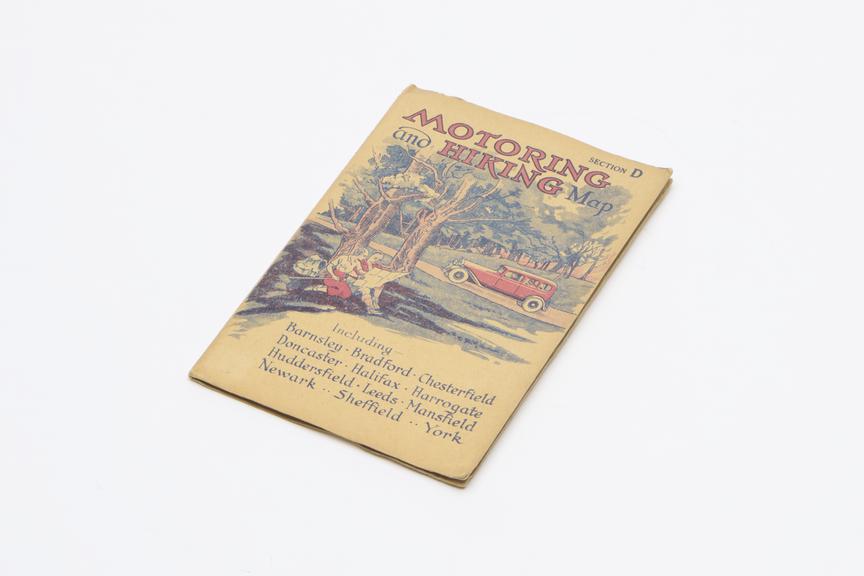
Motoring and Hiking map
- Made:
- 1937 in United Kingdom
 This image is released under a CC BY-NC-SA 4.0
Licence
License this image for commercial use at Science and Society Picture Library
License
Science Museum Group
© The Board of Trustees of the Science Museum
Motoring and Hiking map, Section D (Including Barnsley, Bradford, Chesterfield, Doncaster, Halifax, Harrogate, Huddersfield, Leeds, Mansfield, Newark, Sheffield, York) Scale 3 miles to an inch. Folded in card covers, by W. & A. K. Johnston Limited., Edinburgh and London. 1937.
Details
- Category:
- Domestic Appliances
- Object Number:
- 2000-574
- Measurements:
-
overall (lying flat): 9 mm x 130 mm x 185 mm, .051 kg
- type:
- map
- credit:
- Woodcock, Dave