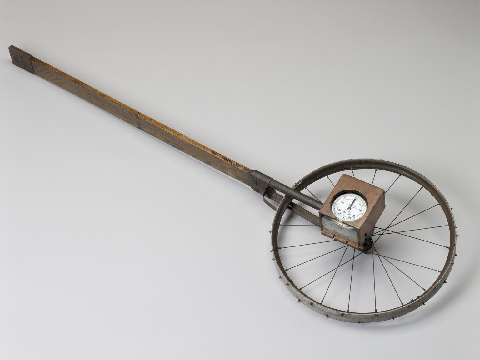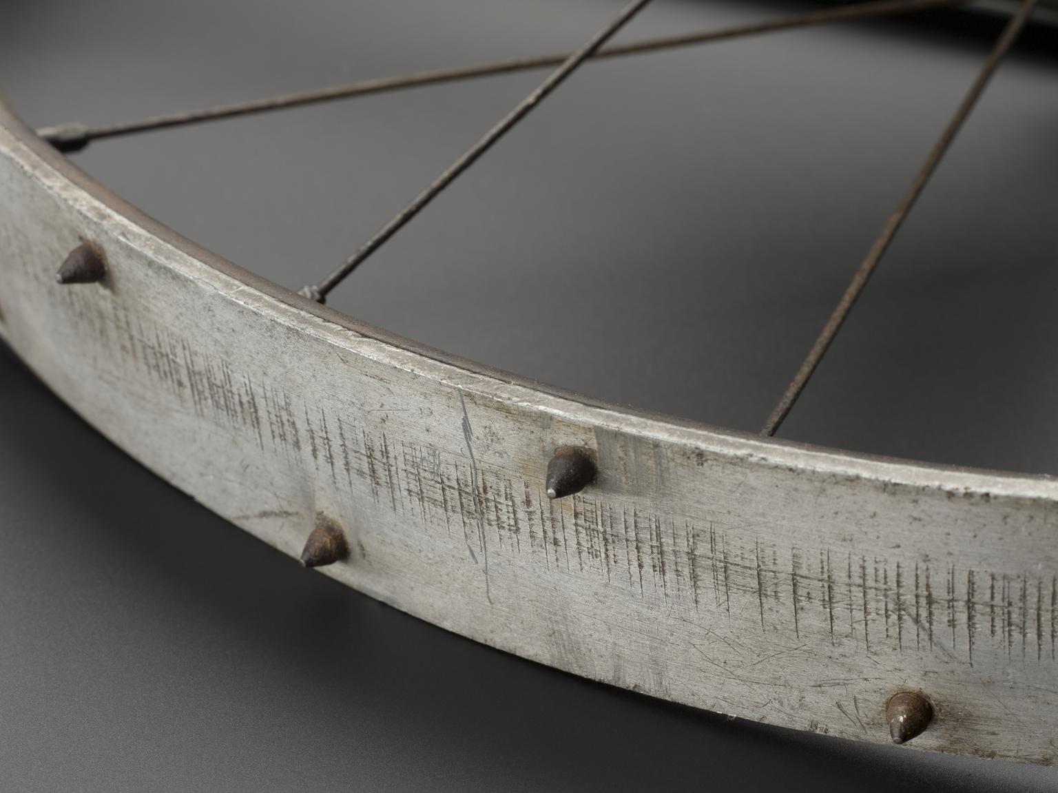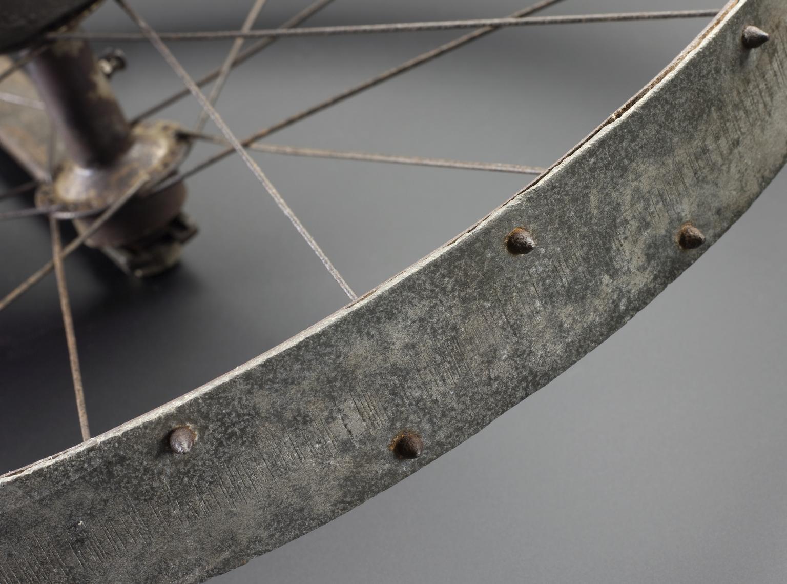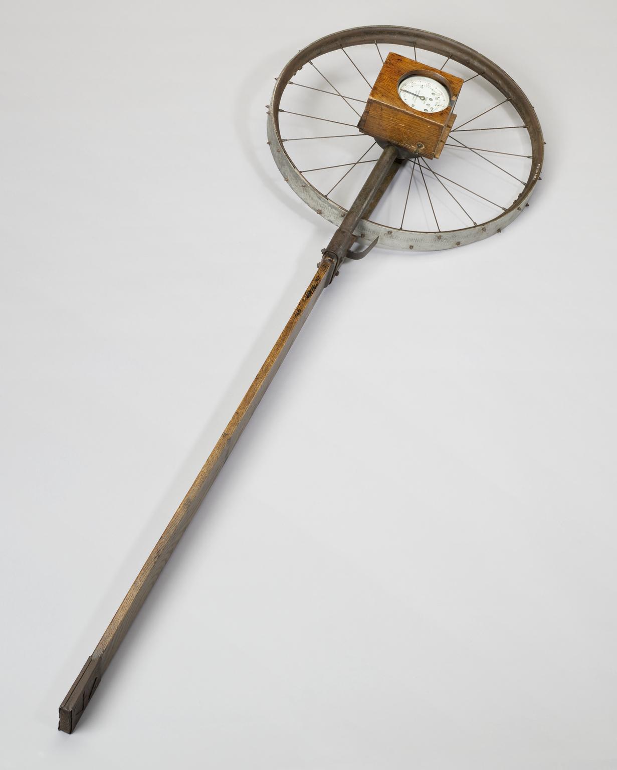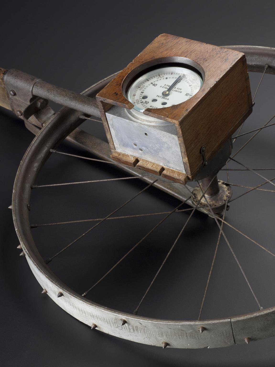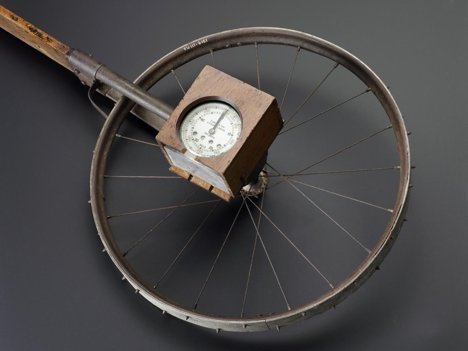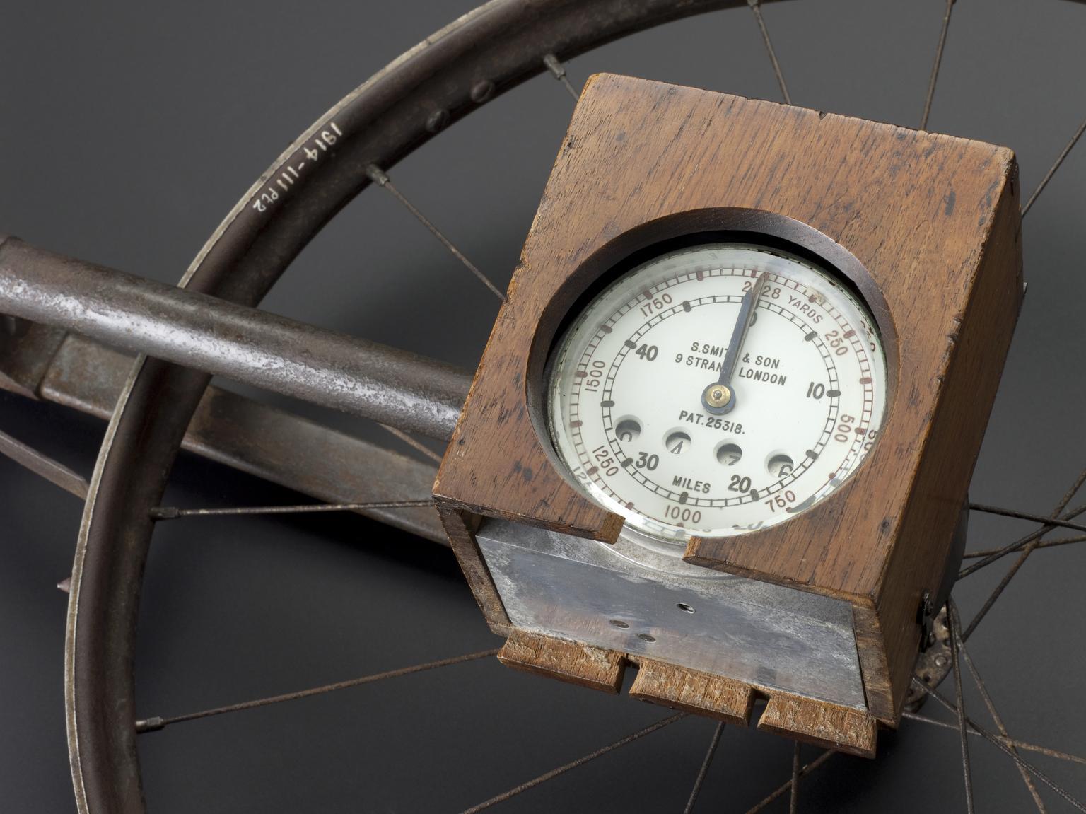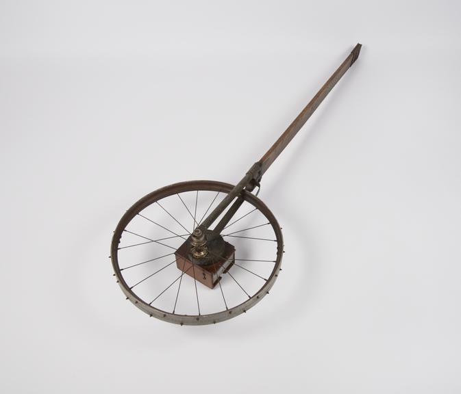
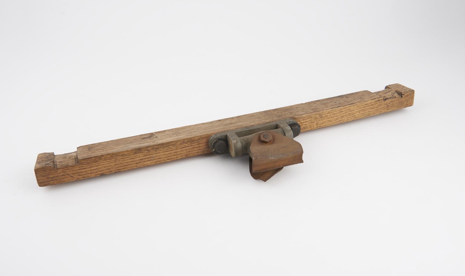
Part of Sledge-meter used on the Terra Nova Expedition, 1900-1910
Part of snow sledge odometer, patented, No.25318, by S. Smith & Son Ltd., 9 Strand, London, England 1900-1910. Used with the British Terra Nova Antarctic Expedition, 1910-1913.
- Object Number:
- 1914-111 Pt1
- type:
- instrument component and odometer
- Image ©
- The Board of Trustees of the Science Museum