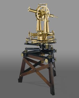
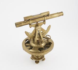
Theodolite used for the Principal Triangulation of Great Britain
1791
1791
1940

1990-1991

1784
1795-1805

1663

1750-1766
1600-1630
1600-1630
1801-1830
1826-1828
1801-1830
1801-1830
1801-1830
1755-1765
1775-1794

1950-1954
1970
1959
200-1 BCE

1857-1865
1816-1835
1901-1950

1957-1962
1725-1747

1875

1801-1830
1970
1880-1920

1976
1914

1923-1933

1971

1700-1730

1897-1900
1871-1900
1900-1921

1965-1975
1900-1920

1875-1885

1944

1912
1826-1828
1674

1818-1826
1826-1876
1970-1975
1601-1700
1928