
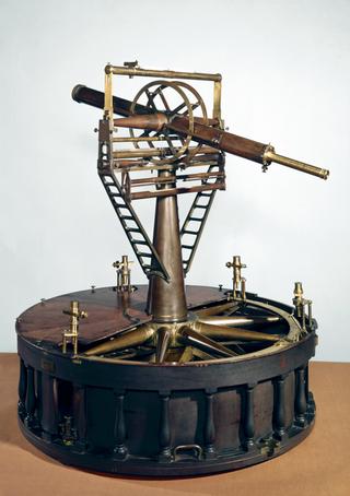
Plane table outfit by Benjamin Cole
1750-1766
1750-1766
1791

1663

1784

1990-1991
1755-1765
1600-1630
1600-1630
1775-1794
1795-1805
1940
1816-1835
1959
1945-1948

1870
1914
1822

1827
1910

1840
1850-1900

1914
1914

1816-1850

1868-1876

1890-1893
1826-1828

1755
1601-1700
1955
1940
1824-1834
1864

1690-1710
1914

1731-1770
1818-1850
1601-1700
1690-1725
1928
1927
1885
1914
1910-1914
1892

1920

1914
1905

1970