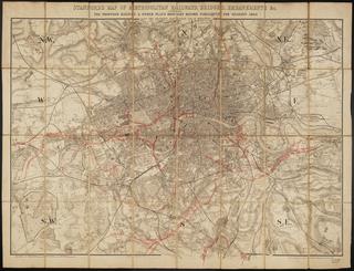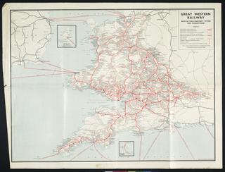
G Bradshaw's Map of Canals, Navigable Rivers, Rail Roads &c. in the Midland Counties of England ...
- Made:
- 1829-02-12 in Greater Manchester
- maker:
- George Bradshaw
G. Bradshaw's Map of Canals, Navigable Rivers, Rail Roads &c. in the Midland Counties of England from Actual Survey Shewing the Heights of the Ponds on the Lines of Navigation from a level of 6 feet 10 inches under the Old Dock Sill at Liverpool from Levels taken by Twyford & Wilson, Surveyors & Engineers, Manchester / George Bradshaw. 1829-1830 (2 copies. 'To Thomas Telford FRS L & E, President of the Institution of Civil Engineers This Map ... is by Permission Dedicated by his obliged G. Bradshaw'. First (Feb 1829) copy is on 4 sheets (each 67 x 63.5cm); second (Feb 1830) copy, bearing slight differences, is on 1 sheet (138.5 x 127cm). Both copies bear 'Explanation' giving 'Sizes of the Largest Vessels which the locks will admit' for 50 canals. Coloured lithos on 4 sheets + 1 sheet, scale 1" : 2m.)
Details
- Category:
- Railway Maps & Plans
- Object Number:
- 2000-1093
- Materials:
- paper
- Measurements:
-
overall: 670 x 635 mm
- type:
- map
- credit:
- Unknown source
