![]() This image is released under a CC BY-NC-SA 4.0
Licence
This image is released under a CC BY-NC-SA 4.0
Licence
Buy this image as a print
BuyLicense this image for commercial use at Science and Society Picture Library
License
Science Museum Group Collection
© The Board of Trustees of the Science Museum
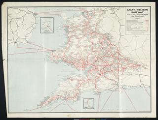
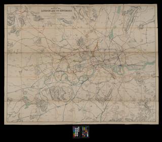
Cruchley's Railway Map of England & Wales / G.F. Cruchley, 1840. [Engraved and published by G. F. Cruchley, map seller, 81 Fleet Street. Front board bears title 'Cruchley's New Map of the Railways and Principal Roads of England and Wales'. 1 sheet : 9 sections, folded in boards. Scale c.1" : 30m.]
George Frederick Cruchley, the designer and printer of this map, was famous for his cartographical (map-making) work. The address given at the base of the item is one he used after 1834. He also engraved coats of arms and crests. Cruchley also produced maps for smaller areas of interest throughout England and beyond, often focusing on railways. This displays both a public desire for these maps, and an increasing interest in railways.
This map displays the whole of England and Wales, as well as some parts of Scotland and France, shows routes of the railways at the time the map was produced. The railways are marked in thick red lines to contrast with the black ink that indicates the roads and rivers. All the 52 counties of England and Wales are marked on the map with bold numbers, a key in the top right explains the which number relates to which county relates. The lines of latitude and longitude run along the borders, these would be useful in the case of using maps together.
Details
- Category:
- Railway Maps & Plans
- Object Number:
- 2000-1147
- Measurements:
-
: 360 x 270 mm
- type:
- map
- credit:
- Unknown source