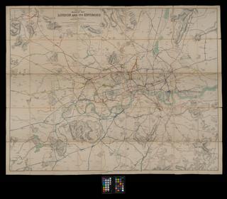
Colour-engraved map. Cruchley's Railway & Telegraphic Map of Yorkshire Showing all the Railways & names of Stations, also the Telegraph Lines & Stations, Improved from the Ordnance Surveys / G. F. Cruchley. 1858 Jan. No scale. Cover title is 'Cruchley's modern Railway and Telegraphic county map'. Map originally folded and bound within boards (17.5 x 10cm.)
Details
- Category:
- Railway Maps & Plans
- Object Number:
- 2000-1396
- Materials:
- paper
- Measurements:
-
overall: 505 x 580 mm
- type:
- map
- credit:
- Unknown source
