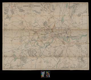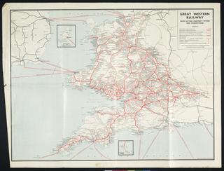
The Railway's throughout England and Wales, to the capital of Scotland, 1840
- Made:
- 1841-01-21
Coloured litho map. The Railways throughout England and Wales, to the capital of Scotland, 1840. 1841 Jan. Scale 1" : 20m. Published by H. Tuck at the Railway Times Office, London. Cover title is 'Tuck's Map of the Railways throughout ....' Map originally folded and bound within limp covers (15 x 9.5cm.) with printed 'Railway Compendium', a sheet (19 x 14cm.) 'Showing the Number of Shares, the Amount of Share, and the Amount Paid, with the Length in Miles, and Weekly Earnings of the Principal Railways in Great Britain'. Conserved in 2001, the constituent parts have been separated
Details
- Category:
- Railway Maps & Plans
- Object Number:
- 2000-1398
- Materials:
- paper
- Measurements:
-
overall: 590 x 500 mm
- type:
- map and compendium
- credit:
- Unknown source
