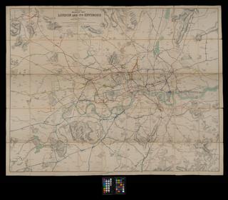
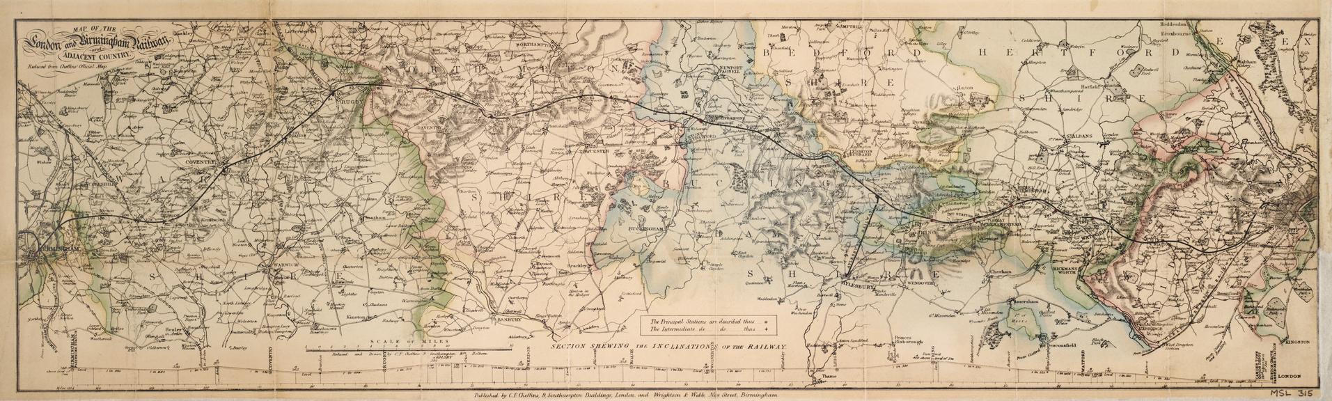
'Map of the London and Birmingham Railway and adjacent country', c 1840
- Made:
- 1835-1845 in London and Birmingham
- publisher:
- Charles Frederick Cheffins and Wrightson and Webb
![]() This image is released under a CC BY-NC-SA 4.0
Licence
This image is released under a CC BY-NC-SA 4.0
Licence
© The Board of Trustees of The Science Museum, London
National Railway Museum, York
Printed and hand coloured map 'Map of the London and Birmingham Railway and adjacent country' Reduced from Cheffins' Official Map / Charles Frederick Cheffins. c 1840. 1 sheet, engraving with wash, scale 1" : 4m. Published by Wrightson & Webb, Birmingham. Originally accompanying handbook to the railway (inv. 1900-206/1) now in Library stock.
Details
- Category:
- Railway Maps & Plans
- Object Number:
- 1900-206/2
- Measurements:
-
overall: 210 mm x 685 mm
- type:
- map
- credit:
- Stretton, C.E. and C.