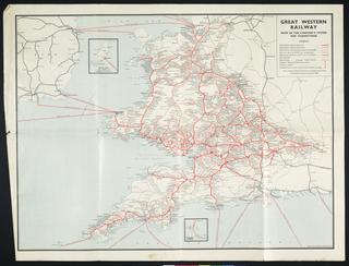
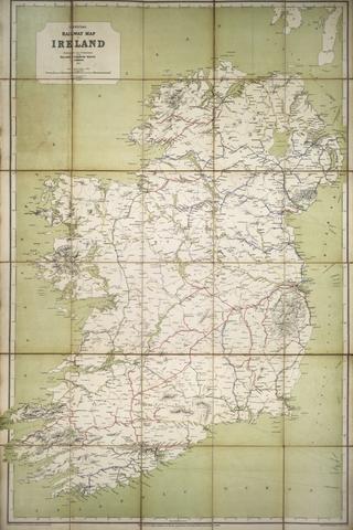
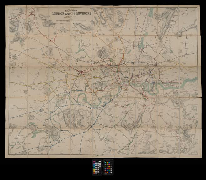
Map, Railway Clearing House
- Made:
- 1913
- publisher:
- Railway Clearing House
![]() This image is released under a CC BY-NC-SA 4.0
Licence
This image is released under a CC BY-NC-SA 4.0
Licence
Buy this image as a print
BuyLicense this image for commercial use at Science and Society Picture Library
License
Science Museum Group Collection
© The Board of Trustees of the Science Museum
Map, Railway Clearing House, London, 1913, coloured, 2 inch to 1 mile.
Details
- Category:
- Railway Maps & Plans
- Object Number:
- 2001-7408
- Materials:
- linen backed paper
- Measurements:
-
: 52.75 x 41 in.; 1339.85 x 1041.4 mm
- type:
- map