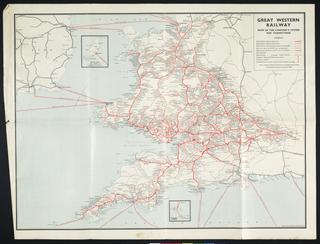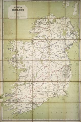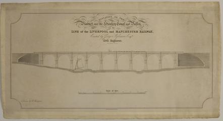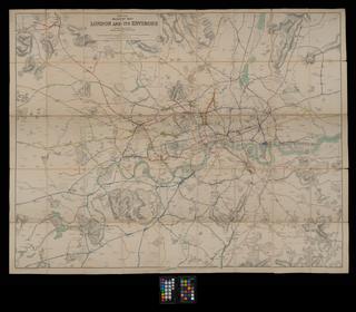
Map, Railway Clearing House
- Made:
- 1880
- publisher:
- Railway Clearing House
Map, Railway Clearing House, Wales, South, 1880, coloured, 1 inches to 2 miles, published by J Airey, Railway Clearing House, stamped Maryport & Carlisle Railway Secretary's Office.
Details
- Category:
- Railway Maps & Plans
- Object Number:
- 2001-7446
- Materials:
- linen backed paper
- Measurements:
-
: 43.75 x 21.5 in.; 1111.25 x 546.1 mm
- type:
- map
- credit:
- British Rail, Clapham


