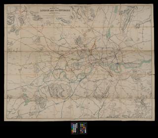
Map, England, Scotland & Wales
- publisher:
- Smith & Ebbs.
Map, England, Scotland & Wales, Station map, 1881 (17th Edition), published by Smith & Ebbs, paper backed linen. [Ex Municipal Industrial Museum, Newcastle-upon-Tyne]
Details
- Category:
- Railway Maps & Plans
- Object Number:
- 2002-8029
- Materials:
- linen (textile) and paper (fibre product)
- Measurements:
-
: 56 x 36 1/2 in.; 1422.4 x 927.1 mm
- type:
- map
- credit:
- British Rail, Clapham