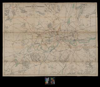
Map, South Eastern & Chatham Railway
Map, South Eastern & Chatham Railway, system map, post 1903, 1 inch to 1 mile, shows London to Brighton electric railway c. 1903 proposal, printed by Ordnance Survey, paper backed linen, with red leather cover.
Details
- Category:
- Railway Maps & Plans
- Object Number:
- 2002-8048
- Materials:
- linen (textile) and paper (fibre product)
- Measurements:
-
: 50 x 131 in.; 1270 x 3327.4 mm
- type:
- map
- credit:
- British Rail, Clapham


