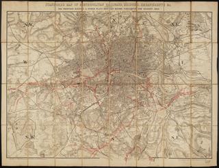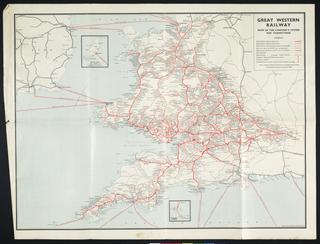
Map, Bacon's excelsior map of Yorkshire and parts of adjoining counties showing railways
- maker:
- George W Bacon and Company
Map, Bacon's excelsior map of Yorkshire and parts of adjoining counties showing railways, roads, elevations & distances; also local government divisions. c. 1901, coloured, 1 inch to 3 miles, publisher/printer G W Bacon & Co., paper-backed linen.
Details
- Category:
- Railway Maps & Plans
- Object Number:
- 2002-8108
- Materials:
- linen (textile) and paper (fibre product)
- Measurements:
-
: 35 1/2 x 47 in.; 901.7 x 1193.8 mm
- type:
- map
- credit:
- British Rail, Clapham
