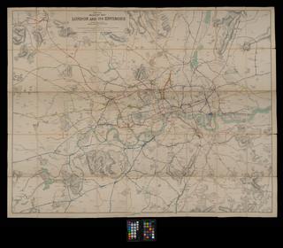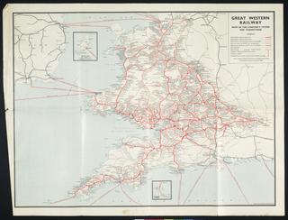
Map, showing distances
- Made:
- 1897
- maker:
- Great Northern Railway
Map, showing distances, Great Northern Railway, March 1897 (2nd issue), paper-backed linen, leather cover.
Details
- Category:
- Railway Maps & Plans
- Object Number:
- 2002-8214
- Materials:
- linen (textile) and paper (fibre product)
- type:
- map
- credit:
- British Rail, Clapham
