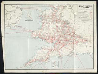
Cheffins's Map of the English & Scottish Railways
- Made:
- circa 1839-1840
- maker:
- Charles Frederick Cheffins
Cheffins's Map of the English & Scottish Railways. Printed map showing railways that are already open, railways for which Acts have been obtained or are in progress, and projected railways.
Details
- Category:
- Railway Maps & Plans
- Object Number:
- 2004-7244
- Materials:
- linen (textile) and paper (fibre product)
- Measurements:
-
overall: 27.7559 x 22.8346 in.; 705 x 580 mm
- type:
- map
- credit:
- Roberts, Gladys
