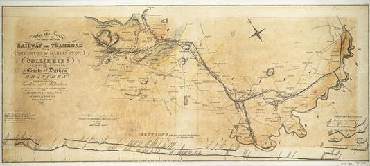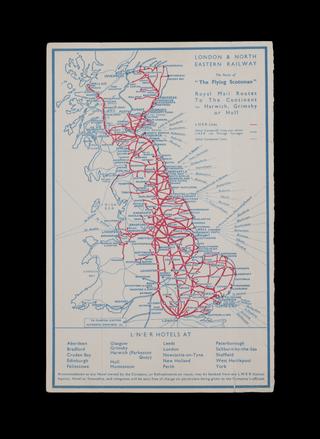
Fold-out map showing the various Network Southeast lines between May 1989 and May 1990, and a map of London connections on the reverse.
Details
- Category:
- Railway Maps & Plans
- Object Number:
- 2004-7218
- Materials:
- paper (fibre product)
- Measurements:
-
overall: 16.5354 x 23.9764 in.; 420 x 609 mm
- type:
- map
- credit:
- Found in Museum