APEX Autonomous Drifting Profiler, or Argo float, 2010
- Made:
- 2010 in Massachusetts
- maker:
- Teledyne Webb Research


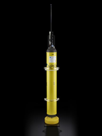

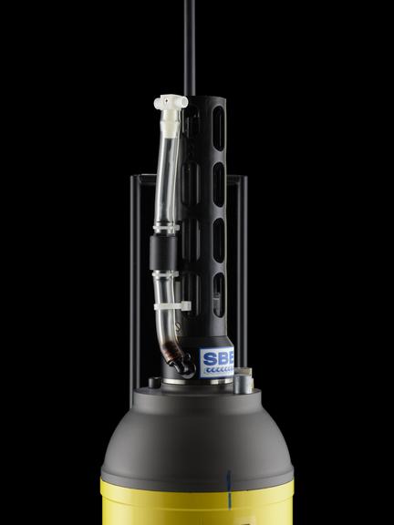
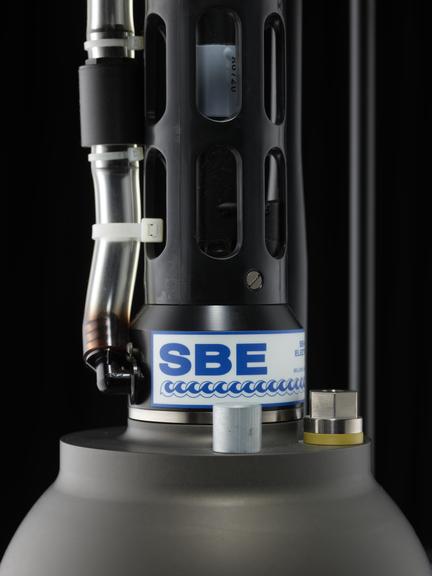
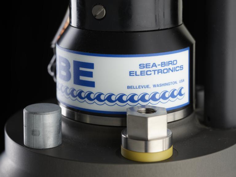
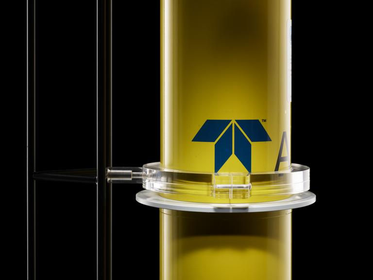



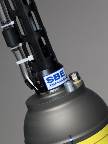
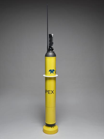
Non-operational APEX autonomous drifting profiler, by Teledyne Webb Research, Massachusetts, United States, 2010. Profilers like this model, also sometimes known as Argo floats, are used to measure upper ocean temperature and salinity as part of the global Argo project.
The world’s oceans are under constant surveillance. Thousands of freely drifting floats are continually measuring the temperature, salinity (saltiness) and movement of the upper part of our seas. The floats are part of the international Argo project set up to measure how much heat is being absorbed by our oceans, and how the oceans move. The heat measurements are especially important because over 80% of any imbalance in the heat gained and lost by the Earth is absorbed or released from the ocean. As a result, warmed water expands, raising sea levels and putting coastal communities and infrastructure at risk.
Until recently ocean measurements were collected from ships, but geographical coverage was sparse and the data limited by the depth the measuring instruments could reach. Oceanographers aspired to create a global array of autonomous floats to profile the ocean at locations all around the world. By 2000, after decades of development, the global Argo project boasted an array of 3000 such floats.
The floats, which are battery operated, come in various different models, but all work in a similar fashion.
They are fitted with two rubber bladders, one internal and one external. When the floats are launched into the sea, an on-board hydraulic system moves oil from the external bladder to the internal one, making the float heavier than the surrounding water so it can sink to a ‘parking’ depth of 1000 metres. It remains at this depth for nine days, slowly drifting with the current. On the tenth day it descends to 2000 metres before the oil is pumped back into the external bladder, allowing the float to become buoyant and slowly rise to the surface, taking measurements on its journey.
As it surfaces, antennas on the top of the float transmit the data to a receiving satellite before the float sinks back down into the ocean. Information received by the orbiting satellite is passed to a receiving station and then onto national data centres to be quality controlled and turned into readable numerical data. Shortly afterwards the data are made publicly available through the internet.
Users of Argo data include computer modellers who monitor and predict future climate changes on timescales from seasons to decades, and national governments which analyse the data to monitor, predict and reduce the undesirable impacts of variations in temperature, salinity and ocean currents within their local area.
Details
- Category:
- Oceanography
- Object Number:
- 2010-100/1
- Materials:
- metal (unknown)
- Measurements:
-
overall: 1300 mm 165 mm,
overall (with antenna): 1940 mm 230 mm, 37.5 kg
- type:
- profiler
- copyright:
- Teledyne Webb Research
- credit:
- Teledyne Webb Research

