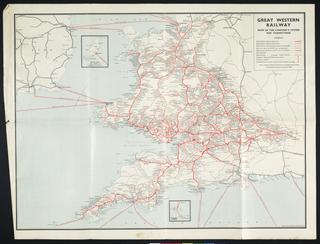
North Eastern Railway Distance Map 1890
- Made:
- 1890 in United Kingdom
- maker:
- North Eastern Railway
North Eastern Railway Blythe and Tyne Section distance map 1890.
Shows distances in miles and chains of North Eastern Raliway (NER) lines between Newcastle, Tynemouth, Morpeth, Percy Main, Hirst and Blythe as well as linked private railways such as colliery wagonways at Killingworth and Seaton. Originally founded in 1854, the North Eastern Railway (NER) was the amalgamation of several railway companies in the North of England, covering Yorkshire, County Durham and Northumberland, and some lines in Westmorland, Cumberland and the Scottish Borders. The NER's main line formed part of the East Coast Main Line between London and Edinburgh. It became part of London & North Eastern Railway in 1923.
Details
- Category:
- Railway Maps & Plans
- Object Number:
- 2023-261
- Materials:
- paper (fibre product)
- type:
- map
- credit:
- British Transport Museum
