NER District Maps 1911
- Made:
- 1911 in United Kingdom
- maker:
- North Eastern Railway
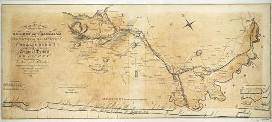
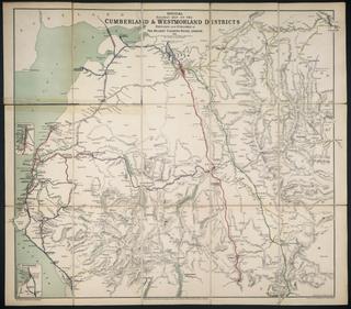
Three bound and rolled sets of maps showing North Eastern Railway districts: fire brigade divisions, chain inspector districts, locomotive superintendents districts; carriage and wagon departments; inclines, power & pumping stations; engine shed districts; tool van districts; district engineer's districts; collieries that supply loco coal; list of engine turntables; fire brigade return districts; sand driers.
The North Eastern Railway split the administration of various activities geographically across its railway network into districts. These maps were likely used as a reference tool for the staff of the NER to locate the boundaries of these districts. The maps provide a useful insight into how the company was administered and in some cases they give the names of the members of staff responsible for managing the various districts of the company.
