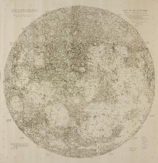
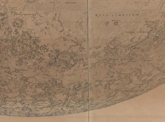
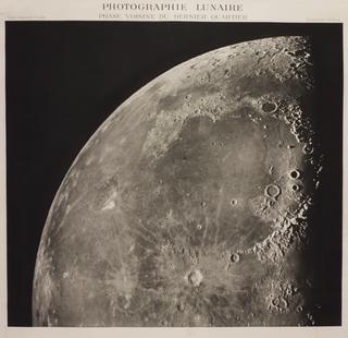
30-inch reproduction of a 200-inch Map of the Moon
1932-1938
1932-1938
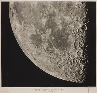
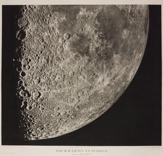
1880-1883
1904

1904
1904
1900-1920

1904


1904

1904
1904
1837
1834
1851
1876
1645
1824-1830
1837
1900-1921
1911
1647
1924-1958
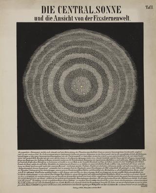
circa 1780-1800
1647
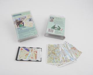
2020-2021
1904
50 BCE (original)
50 BCE (original)
1834
1834
1834
1913-1959
1916
1925
50 BCE (original)
50 BCE (original)
50 BCE (original)
50 BCE (original)
50 BCE (original)
50 BCE (original)