Skip to main content
Collection
Collection
Learning
The group
Visit us
Expand child menu
Locomotion
National Railway Museum
National Science and Media Museum
Science and Industry Museum
Science and Innovation Park
Science Museum
Collection
Search
About
Search
About
Collection
Learning
The group
Visit us
Expand child menu
Locomotion
National Railway Museum
National Science and Media Museum
Science and Industry Museum
Science and Innovation Park
Science Museum
Relief map of Italy
Relief map of Italy, scale 1:1,000,000 by C. Pomba, shows true curvature of the Earth.
Details
Category:
Surveying
Object Number:
1895-33
Measurements:
overall (locked upright): 1990 mm x 1640 mm x 885 mm,
overall (table mode): 1295 mm x 1640 mm x 1760 mm,
type:
maps
credit:
Pomba, C.
Related Objects
Photogrammetric plotting device, 1910-1920
Tape measure, British, 1981-1985
Traveller's compendium: hinged compass, magnifying lens, dark lens and sundial
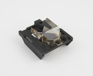
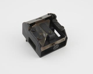
Rangefinder centre prism, strip field type
Centre separating prism for Barr and Stroud rangefinder
10 foot standard (Cape of Good Hope Survey), 1840
10 foot standard (Cape of Good Hope Survey), 1840
10 foot standard (Cape of Good Hope Survey), 1840