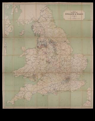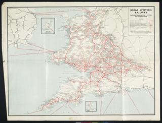
Three NER maps
- Made:
- 1907-1910 in United Kingdom
- maker:
- North Eastern Railway
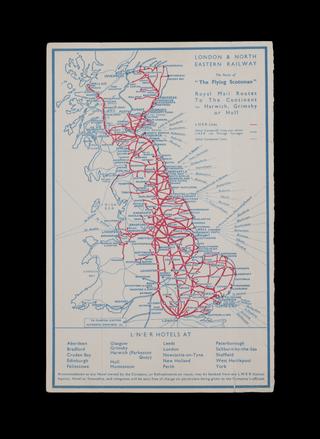
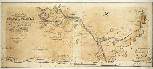
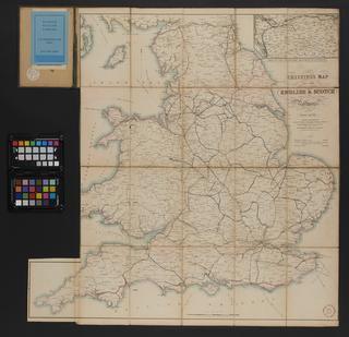
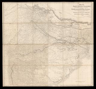
Three maps of the North Eastern Railway; North Eastern Railway plan of Northumberland Coalfield, 1910. Plan of North Eastern Railway and Connections 1907 (colour coded to show principal natural products), North Eastern Railway map shewing the divisions of the district superintendents (includes list of names)
These maps show evidence that they were previously framed and displayed, possibly in the NER's offices where they could be referred to in the administration of the railway. Originally founded in 1854, the North Eastern Railway (NER) was the amalgamation of several railway companies in the North of England, covering Yorkshire, County Durham and Northumberland, and some lines in Westmorland, Cumberland and the Scottish Borders. The NER's main line formed part of the East Coast Main Line between London and Edinburgh. It became part of London & North Eastern Railway in 1923.
