Image
Category
Maker
On Display
Object type
Place
Material
Date

Philips' popular manikin/edited by W.S. Furneaux

1910-1930

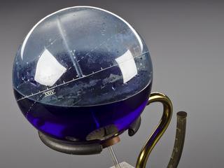
The Astroglobe

1929-1939

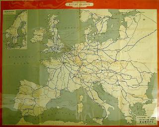
Freight Service Connections with Europe

London & North Eastern Railway system

LNER map

Freight Service Connections with Europe

Philip's 6-inch terrestrial globe

1920-1940

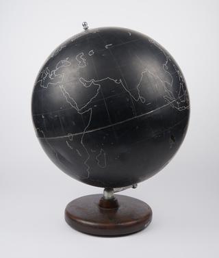
Philip's 'Slate' globe for school use c. 1950.

1950-1955

Map of Europe marked with the paths of totality for solar eclipses during the 20th century

1927

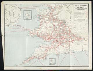
Great Western Railway map

circa 1900-circa 1948

Map of Europe, in relief, showing Southern Railway steamship routes, railway lines and major European lines, horizontal scale 1 inch:26 miles, vertical scale 1 inch:7500 feet, George Philips & Son Ltd., London.

Map of Europe, Southern Railway routes

Coloured map. Philips' Railway Map of the British Isles, with large scale inset maps of the principal industrial centres (Midlands Manufacturing Districts, Newcastle & Middlesbrough Districts, London District, Lancashire & Yorkshire Manufacturing Districts and Edinburgh & Glasgow District). (c1916). Published by George Philip & Son Ltd. Backed on linen. 785 x 1012mm.

Philips' railway map of the British Isles

1916

Map, 'Yorkshire North Riding', c. 1850, coloured, 1/4 inch to 1 mile, printed/published by George Philips & Son Ltd., paper.

Map, 'Yorkshire North Riding'

1850

Guidebook, London & North Eastern Railway, "The Silver Jubilee. Britain's Original Streamline Train", winter 1938-39, map with plan of train and timetable, 6 pages, soft cover - pamphlet.

LNER: The Silver Jubilee; Britains Original Streamline Train

1938-1939

"Philips' Railway Map of the British Isles showing the new Grouping System" 1923. With insets of the principal industrial centres.

Philips' Railway Map of the British Isles showing the new Grouping System

1923

Route map. Map of UK & London & North Eastern Railway routes. London & North Eastern Railway. Format: double royal. Dimensions: 40 x 25 inches, 1016 x 635mm.

route map;

1939