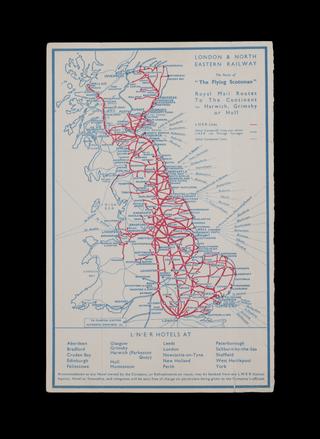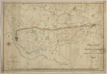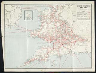
Map, "Map of England and Wales showing the Railways
Map, "Map of England and Wales showing the Railways, Canals and Inland Navigation", compiled under the direction of Capt. J.L.A. Simmons, F.MacKenzie, Draughtsman, No 40, ordered by the House of Commons to be printed, 1/12/1852. Hansard Printer, 8 sheets in blue wrap cover
