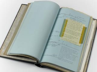
Engraved map, A Plan showing the line of the porposed navigation from Bishops Stortford
- Made:
- 1790
- maker:
- William Faden
[Engraved map] A Plan shewing the line of the porposed navigation from Bishops Stortford, through part of Essex, Cambridgeshire and Suffolk to the Brandon River, on the border of Norfolk; ..... surveyed by John Rennie ..... engraved and published by William Faden, Geographer to the King, London, March 8 1790'. ['... approved by the General Meeting of the noblemen, clergy, gentlemen & freeholders of the said counties, held at Great Chesterford in the year 1789, & engraved by order of the Honourable the City of London'. Scale 1" : 1m.]
