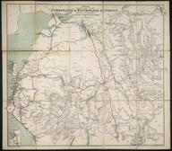

Map showing the adjustment of boundaries of the Western/Southern regions of BR
- Made:
- 1948
- maker:
- British Railways
Map showing the adjustment of boundaries of the Western/Southern regions of British Railways. Scale 8 miles to an inch.
Details
- Category:
- Railway Maps & Plans
- Object Number:
- 2002-7241
- type:
- map
- credit:
- BRB (Residuary) Ltd


