Map of the Lancashire & Yorkshire North Eastern Railway shewing its connection with the exisiting and projected lines of the district
- Made:
- 1846
- maker:
- Joseph Locke and Alfred S. Jee


Map "Map of the Lancashire & Yorkshire North Eastern Railway shewing its connection with the existing and projected lines of the district" by Joseph Locke and Alfred S. Jee, the company's engineers, 1846. In a slip case marked "Wharfdale Railway."
Details
- Category:
- Railway Maps & Plans
- Object Number:
- 2006-7104
- Materials:
- paper (fibre product), linen (textile) and cardboard
- Measurements:
-
overall: 285 mm x 170 mm x , ,
- type:
- map
- credit:
- Mrs. F.V. Rowley
Related Objects

A new map of Great Britain; particularly shewing the Inland Navigation
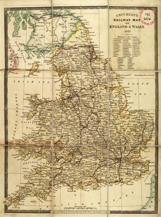
Smith's Map of England & Wales, Containing the whole of the Turnpike Roads, Railways & Canals

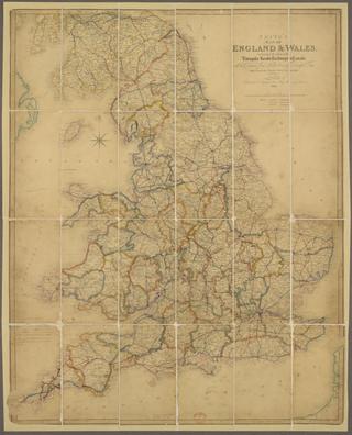
A travelling county atlas: with all the railroads accurately laid down and coloured
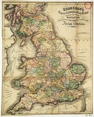
Bradshaw's Map of the Railways in Great Britain shewing also the line of Navigation from the principal Sea Ports ....