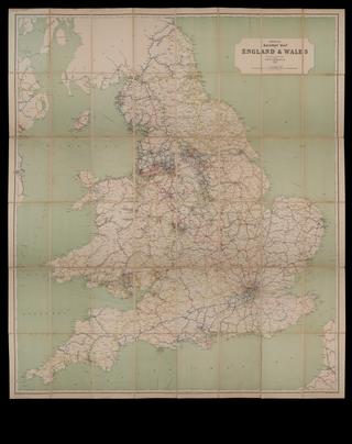
Map, Railway Clearing House
- Made:
- 1926
- maker:
- Railway Clearing House
Map, Railway Clearing House, England and Wales, 1 inch to 7.5 miles, 1926, different colours used to denote various administrative areas in simplified form, paper on linen.
Details
- Category:
- Railway Maps & Plans
- Object Number:
- 2002-7116
- Materials:
- linen (textile) and paper (fibre product)
- Measurements:
-
: 51 x 58 in.; 1295.4 x 1473.2 mm
- type:
- map
Related Objects
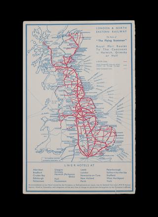
LNER map

A travelling county atlas: with all the railroads accurately laid down and coloured
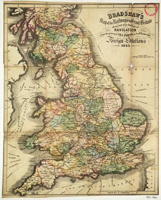
Bradshaw's Map of the Railways in Great Britain shewing also the line of Navigation from the principal Sea Ports ....

A new map of Great Britain; particularly shewing the Inland Navigation