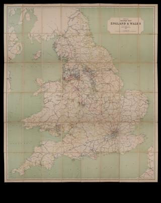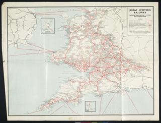
Map, railway, 'Gloucestershire'
- Made:
- 1830
- maker:
- Ordnance Survey
Map, railway, 'Gloucestershire', Ordnance Survey, c. 1830 (but shows several railways), monochrome, 1 inch to 1 mile, paper-backed linen.
Details
- Category:
- Railway Maps & Plans
- Object Number:
- 2002-8098
- Materials:
- linen (textile) and paper (fibre product)
- Measurements:
-
: 26 x 33 in.; 660.4 x 838.2 mm
- type:
- map
- credit:
- untraced find