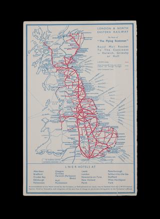
Map of the East Indian Railway
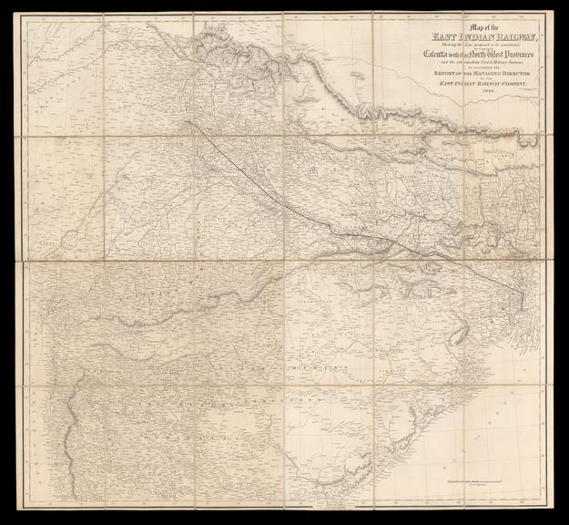
Map of the East Indian Railway, shewing the line proposed to be constructed to connect Calcutta with the North West Provinces and the intermediate Civil & Military Stations." Map made to accompany a report of the Managing Directors of the East Indian Railway Company, 1846. Drawn and engraved by J. & C. Walker of 9 Castle Street, Holborn. In a slip-case.
Details
- Category:
- Railway Maps & Plans
- Object Number:
- 2006-7451
- Measurements:
-
overall: 285 mm x 208 mm x , ,
- type:
- map
- credit:
- Imperial College London