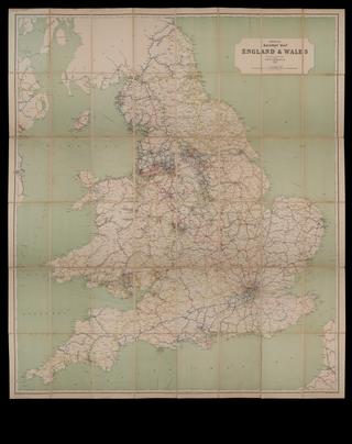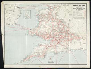
Official Railway Map of Lancashire & Cheshire Districts 1913
- maker:
- Railway Clearing House and J. & W. Emslie
Map, paper backed with linen, with leather-covered card covers, Official Railway Map of Lancashire & Cheshire Districts 1913, published by the Railway Clearing House, drawn and engraved by J. & W.Emslie, London. Black covers with gold lettering on front and spine. Inside cover bears a Barry Railway Audit Office stamp dated December 1912.
Details
- Category:
- Railway Maps & Plans
- Collection:
- Barry Railway
- Object Number:
- 2008-7062
- Materials:
- paper (fibre product), linen (textile), cardboard and leather
- Measurements:
-
overall: 203 mm x 160 mm x 18 mm,
- type:
- map
- credit:
- Mrs V Williams