
Relief Plan, Poplar Dock Depot
circa 1955
circa 1955
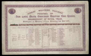
1901
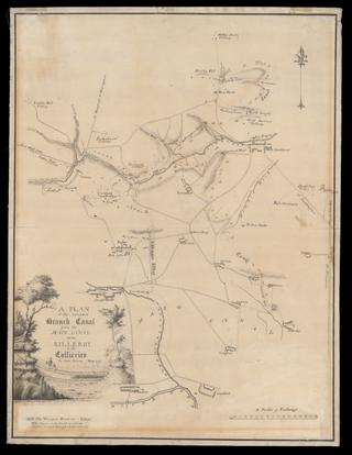
1770
1827
1938

1964-1988
1954-1955
1910
1920-1929
1929
1899
1913
1945
1939
1848
1887
1904
1892
1860
1907
1808-08
1905
1844
1909
1900
1837
1903
1928
1859-1903
1924
1950-1959
1908
1823
1903
1971
1836
1936
1936
1846