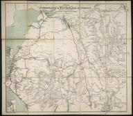

Map. London & Ten Miles Around. A New Map of Railways & Miscellaneous Improvements sanctioned in 1865, also the Railways in Operation and those sanctioned before 1865. With (inset) an enlargement of the Eastern Part of the Metropolis. Published by Edward Stanford, 6 Charing Cross; Vacher & Sons, 29 Parliament Street; Letts & Co, Royal Exchange; London. 10 August 1865. Printed by Stanford's Geographical Establishment, London. Backed on linen and folded with covers (one missing). 893 x 734 mm (flat). 137 x 197 mm (folded).
Details
- Category:
- Railway Maps & Plans
- Object Number:
- 1997-7144
- Measurements:
-
: 893 x 734 mm
- type:
- map
- credit:
- Worssam, Geoffrey


