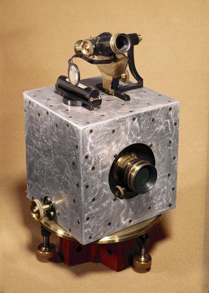
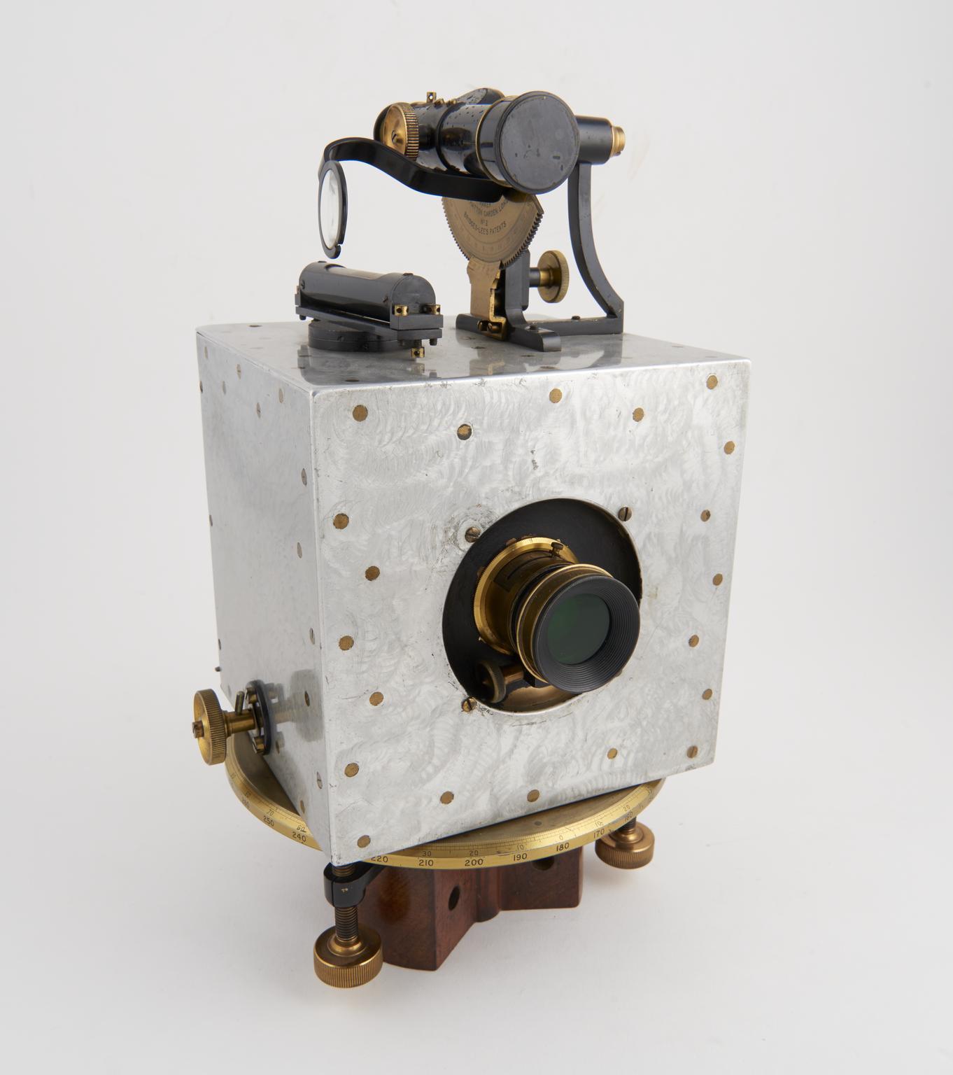
Bridges-Lee type phototheodolite by J. Hicks, 8, 9 & 10 Hatton Garden, London, England, 1894-96.
A new branch of surveying emerged in the middle of the nineteenth century, utilizing the recently-discovered techniques of photography. The new method came to be called photogrammerty, the preparation of maps from photographs taken from the ground or the air. This object is concerned only with photographs taken on the ground.
The pioneer in this field was Laussedat who used a camera fitted with a spirit level, a compass, and means of recording in the photographic plate horizontal and vertical lines passing through the optical axis of the system. The initial results were mediocre but improvements made in lenses, photographic materials and processing led to the production of satisfactory maps by the time the instrument illustrated here was made.
This phototheodolite was made by J Hicks and appeared in about 1896. The Bridges Lee phototheodolite comprised a camera set on the horizontal plate of a theodolite, with a telescope and vertical arc set on top of the camera. Horizontal and vertical lines appeared on the negative, along with the direction of the magnetic meridian and the orientation of the camera. Many surveys of open mountainous territory such as Canada and Switzerland were made with this type of apparatus.
Photogrammetric surveys with equipment of this type were found to be particularly suitable for open mountainous territory and were used extensively in Canada and Switzerland.

